
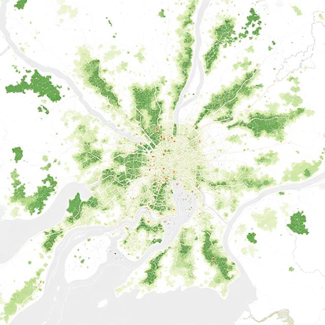
ATLAS 360 is a spatial intelligence platform built to empower cities with real-time, map-based insights for climate resilience and sustainable governance. From flood zones and loss of green cover, ATLAS 360 helps visualise complex citywide patterns, enabling policymakers, researchers, and citizens to make informed decisions grounded in spatial data. Designed to bridge the gap between information and action, it’s a powerful tool for governing smarter and acting faster in the face of climate change.